Geography and Climate of Taiwan
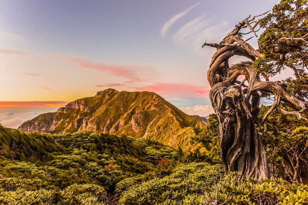
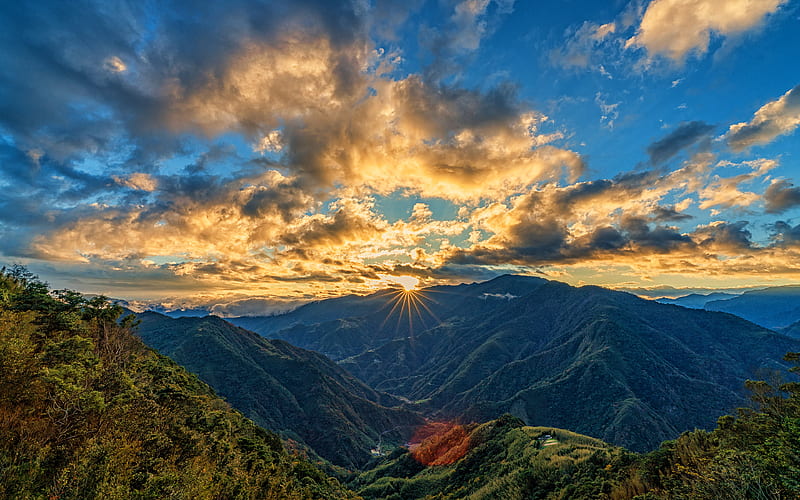
For a relatively small island, Taiwan is incredibly mountainous. The reasons for this aren’t hard to understand. The island is located on the eastern edge of the Eurasian tectonic plate, where it meets the Philippine Sea plate. The latter is continually moving westward, and sliding under the Eurasian plate, pushing it higher at the rate of approximately 5 mm per year. As a result, almost one-third of the island is 1,000 m or more above sea level.
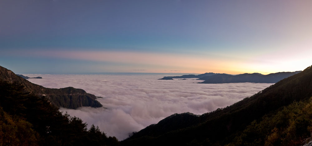
Hiking above the clouds
You’ll see mountains, among them the peaks in Yangmingshan National Park, as soon as you arrive in Taipei. A tenth of Taiwan is over 2,500 m, while a total of 258 peaks are more than 3,000 m high, the very highest being Mount Jade (no. 2 and no. 3 are, respectively, Snow Mountain and Xiuguluanshan). Most of the high peaks are located along the Central Mountain Range, which runs 270 km from north to south. However, both Mount Jade and Alishan belong to separate ranges, while the mountains closest to the Pacific Ocean comprise the Coastal Mountain Range.
Four of Taiwan’s eight national parks preserve high-altitude environments, so hikers are spoiled for options. In addition to hundreds of trails suitable for half-day or day-long hikes, there are epic paths which require six to eight days – plus proper camping equipment and provisions – to cover. These should not be attempted without an experienced guide.
Taiwan’s hot springs

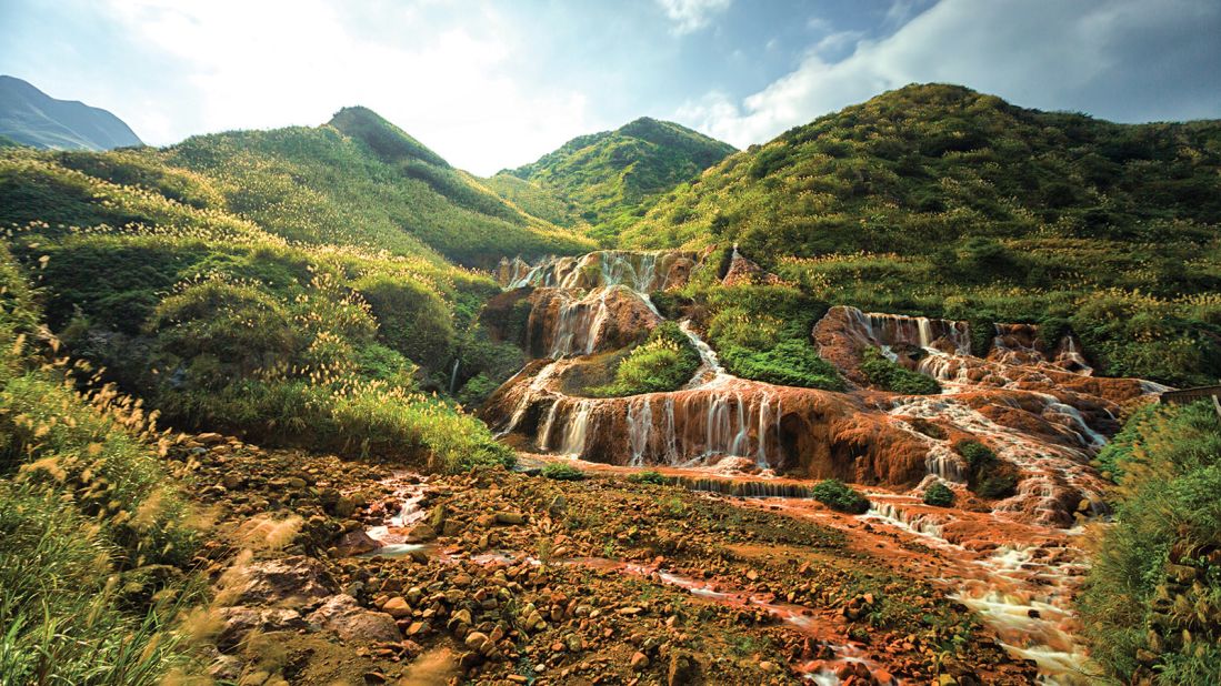
Taiwan’s position on the ‘Pacific Ring of Fire’ brings it one very tangible benefit – an abundance of hot springs. At more than 120 locations around Taiwan, mineral-enriched waters warmed by the Earth’s geothermal heat bubble to the surface.
For sheer variety, these soothing spas are astounding. In terms of temperature, mineral content or setting, no two are alike. In many the temperature exceeds 45 degrees Celsius, so visitors shouldn’t fully immerse themselves right away, but rather acclimatise by scooping water and pouring it over themselves, then slowly lowering themselves in.
First-timers are often surprised to learn that after indulging in a hot spring, they shouldn’t shower before dressing, but rather let their skin benefit from the trace quantities of sulphur, sodium carbonate and other minerals in the water.
Many springs are conveniently close to major cities. People based in Taipei are fortunate in having on their doorsteps the famous hot springs of Xinbeitou and Wulai. East Taiwan is riddled with springs; luxurious hotels have been built at some while others remain remote and entirely undeveloped, and can only be reached by 4×4 vehicle or on foot. Hikers find that, when their legs are aching, nothing beats a good soak.
When the Japanese took control of Taiwan in 1895, they brought with them a well-developed hot-springs culture. From the foreign tourist’s perspective, Taiwan’s hot springs have certain advantages over Japanese onsen. Whereas segregation by gender and nudity are the norm for springs in Japan, swimsuits are worn at most public hot-spring pools in Taiwan. Families can splash and soak together in these places, many of which are open-air and set against a scenic backdrop of mountains and forest.
Cliffs and beaches
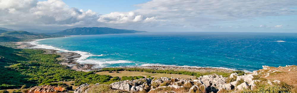
Taiwan and the country’s minor islands together have almost 1,700 km of coastline, and the range of landscapes is tremendous. Much of the west coast is characterised by lagoons, mudflats and wetlands where migrating birds spend the winter, while the north coast is notably rocky. Between Hualien and Yilan, the land meets the sea in a range of breathtaking cliffs. Off the southern coast there are coral reefs full of life, and tidal platforms where it’s easy to spot crabs, sea hares and other beguiling creatures.
Taiwan has scores of beaches, with several of the nicest ones being stretches of white sand in Penghu County and alluring coves in Kenting National Park. In Kinmen County and the Matsu Islands, you can find seaside spots where you’ll have superb views and ocean breezes all to yourself.
Climate

Because of Taiwan’s dramatic topography the country’s climate varies considerably from one part of the island to another. In most places, typical daytime temperatures are 20 to 25 degrees Celsius (68 to 77 degrees Fahrenheit) and only slightly cooler at night.
In Taipei the mercury sometimes dips below 10 degrees Celsius (50 degrees Fahrenheit) during winter, but on summer afternoons it can reach 35 degrees Celsius (95 degrees Fahrenheit). Cities south of the Tropic of Cancer, which crosses Taiwan near Alishan, never get that cold; winters in this region are dry and sunny. In many ways, October to March is an ideal season to visit Taiwan. Temperatures in the outlying islands of Kinmen and Matsu are at least a five degrees lower than those in Taipei.
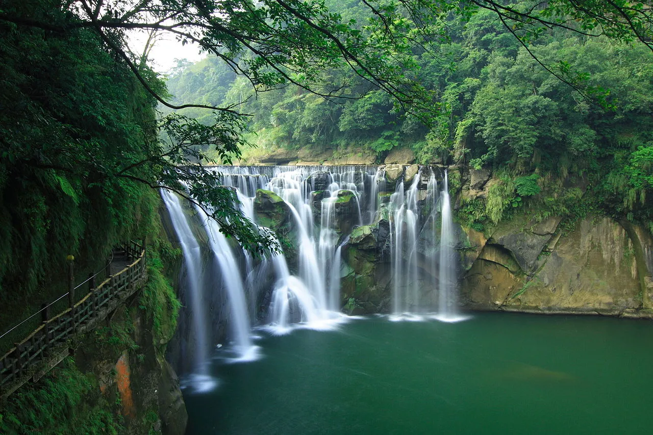
Rainfall varies hugely from place to place. The wettest spots are certain foothill areas near Taipei which in a typical year receive almost 6,000 mm of precipitation. That’s a lot, but during typhoons parts of Taiwan have been hit with more than 2,000 mm of rain in less than 48 hours.
Wet season, dry season
In 2012, Taipei got 2,858 mm of precipitation. It was a typical year in that June to August was the wettest period. In the south, the wet season is much more pronounced; three-quarters of Tainan’s annual rainfall comes between late May and late August. Taiwan’s minor islands are all quite dry – Kinmen, for instance, got just 829 mm of rain in 2012.
Each winter, snowfall adds to the beauty of Taiwan’s highest mountains, but seldom in such quantities that skiing is possible. Typhoons are an occasional hazard. Most arrive in late summer, and even if they don’t hit Taiwan head-on, they’re likely to bring heavy rains which can disrupt transport and make travelling in the mountains inadvisable.